// project · frontline-atlas
Frontline Atlas
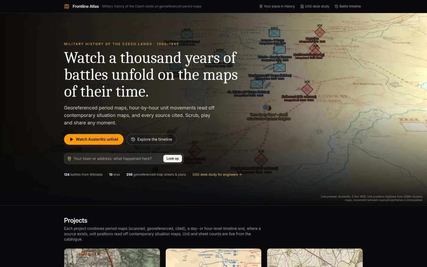
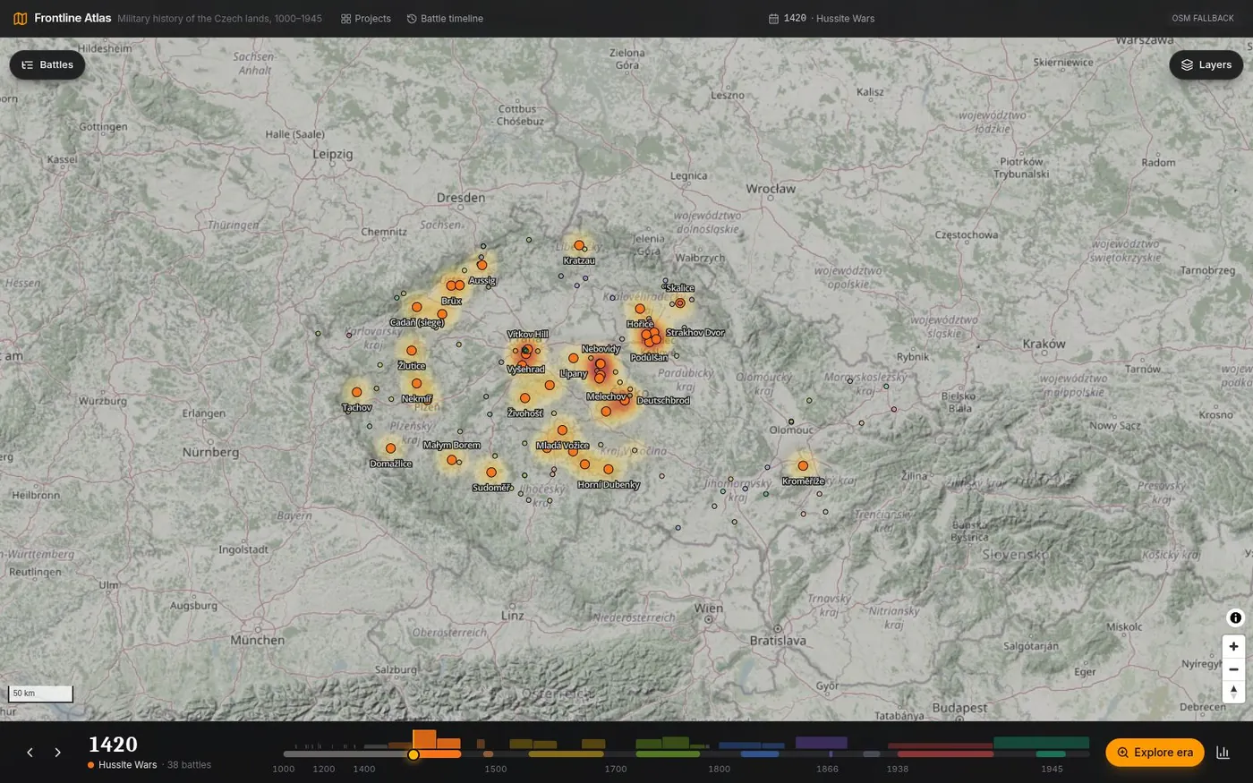
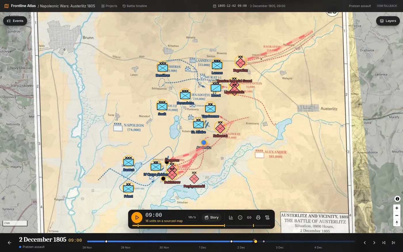
A thousand years of battles in the Czech lands, on the maps of their time. Georeferenced period maps on a time slider, a battle timeline from 1000 to 1945, and hour-by-hour stories with units read off contemporary situation maps — every position cited.
Historical mapsMilitary historyCzech landsFree sign-up
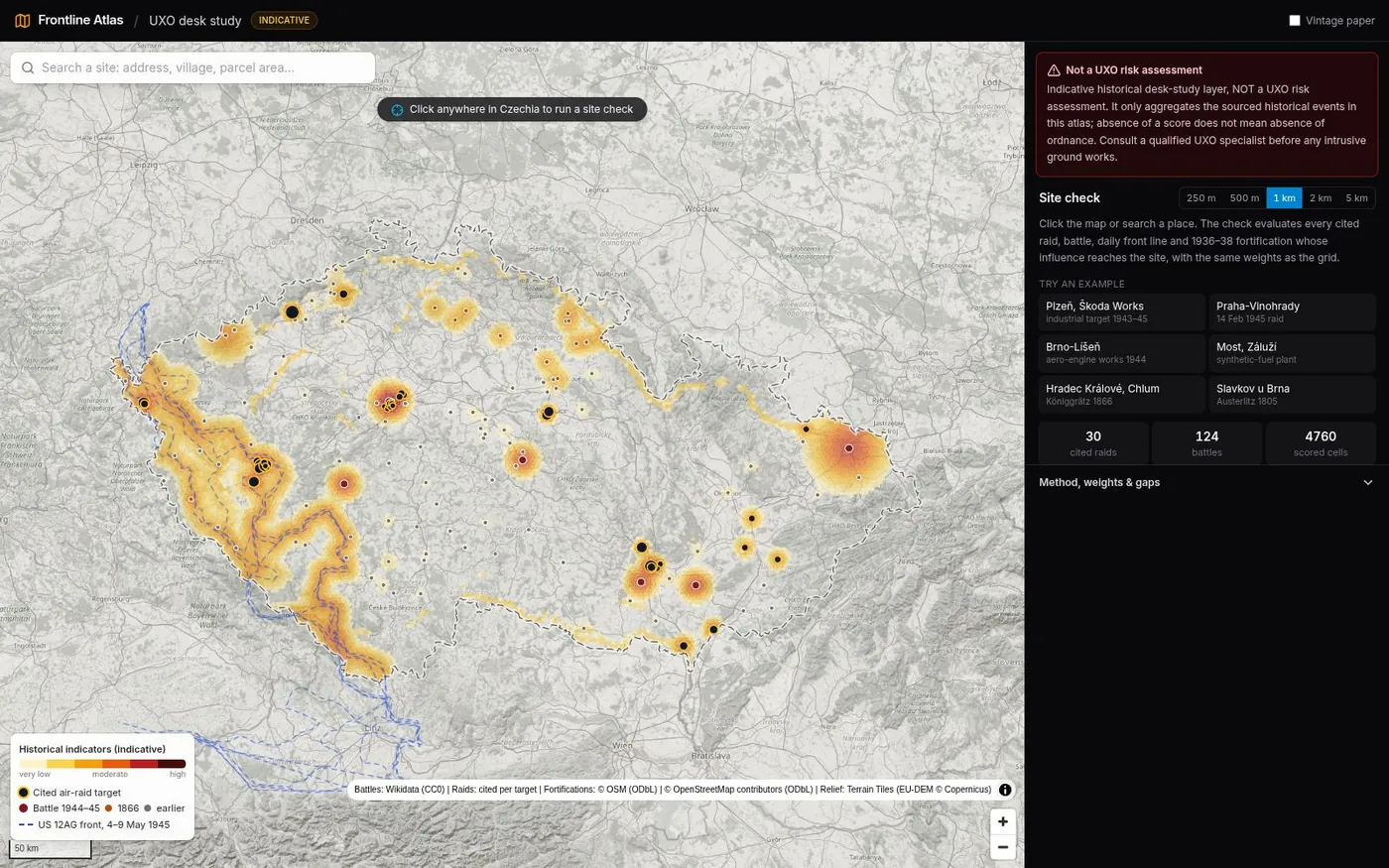
Opening to the public — sign-up is free. How the UXO layer is computed: UXO heatmap methodology →
Note: this page is an AI-generated summary of the project. The product, the code, and the data behind it are real — the prose isn't hand-written.
// why
// look
// what it does
// sources and honesty
// stack
// status